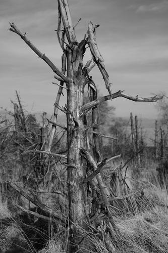
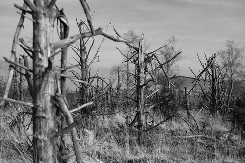
Those windblown trees fit perfectly with an ancient burial site. The branches in the third shot are fantastic.
Yes, it is a good time of year when it stops raining.


Those windblown trees fit perfectly with an ancient burial site. The branches in the third shot are fantastic.
Yes, it is a good time of year when it stops raining.

It's been quite a while since I headed up onto Anglezarke Moor to visit my favourite local Bronze Age Bowl Barrow - Round Loaf, but as it was the spring equinox on Thursday and quite a nice evening too, I figured I'd make an effort to get up there.
I didn't fancy carrying one of my bigger cameras, so I settled for the little X-T50 and bag of primes comprising 18, 23, 27, 35 and 56mm focal lengths, all tucked into a neat little bag along with a bottle of water and an energy bar. As the thread sizes on these are all over the place, I don't have any filters to fit them, so these are all taken unfiltered, hand held and processed from individual raw files. Most were shot at ISO125 which is the base on this camera, but after the sun set I switched to the 2nd gain setting at ISO640.
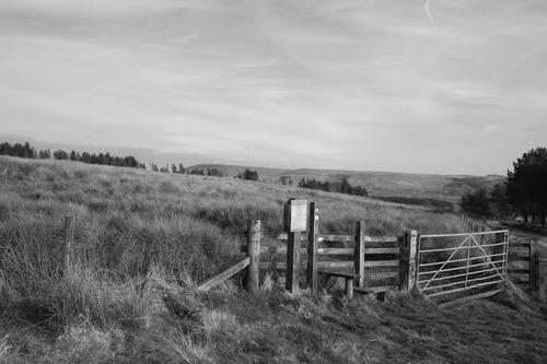
Well, to be more accurate that should probably be Stile to Adventure, but it doesn't sound as good. This is just up the road from Jepson's Gate farm and leads into a field with a vague path across it that takes you to Pikestones, the collapsed remains of the entrance tunnel into a large burial barrow that once stood in what is now the North East corner of the field. The barrow is long gone, looted and destroyed over time, but the stones remain.
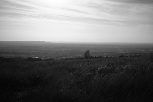
This is the view looking back towards the coast from part way across the field.
The remains of a pine plantation ravaged by fire some years ago lines the Eastern edge of the field, the charred stumps of the trees still standing after all this time.
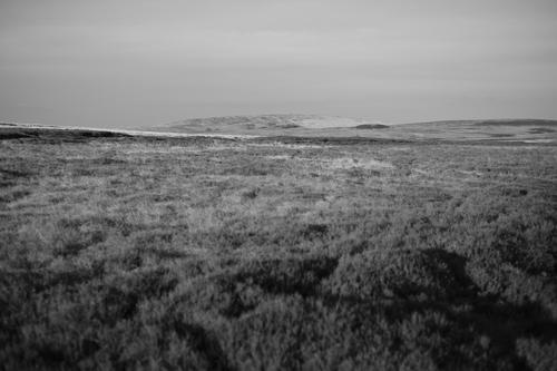
On this occasion I didn't visit Pikestones, but instead continued past it, entering the moors at Rushy Brow where this was the view. In the distance stands Great Hill, the Bronze Age bowl barrow Round Loaf can be seen on its right, looking, to all intents and purposes, like a dark, swollen pimple on the moors, while the lower reaches of Hurst Hill can be seen gently rising on the left hand side of the frame. My plan was to first head to the top of Hurst Hill, then cross the moor to Round Loaf before returning via Limestone Brook. Fun fact; if you draw a straight line between the summit of Great Hill and Pikestones, you'll find Round Loaf at its midpoint, clearly a deliberate alignment that meant something to the people who built these ancient structures more than 3,000 years ago.
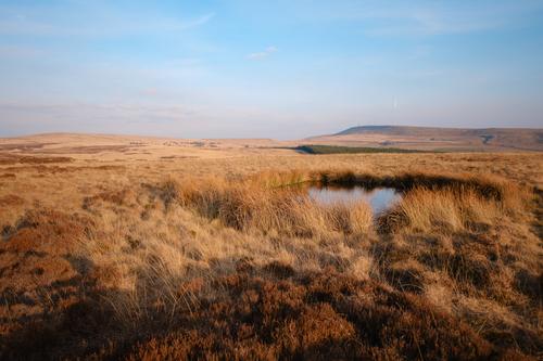
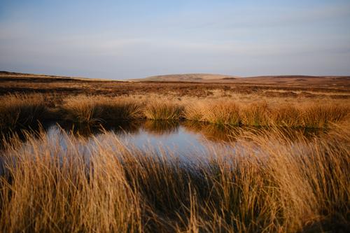
On my way to Hurst Hill, I took a short detour through the heather to visit this ever present pool that's sits South of the summit of Hurst Hill on the 300m contour line above Rushy Brow. There's sometimes a 2nd, larger pool just West of here, but not today. That one was bone dry, but this one, which isn't marked on the OS maps is always here.
This first shot is looking South East towards Winter Hill.
This second shot is looking North East towards Great Hill and Round Loaf.
Looking due West as I approached the summit of Hurst Hill towards Healey Nab. Just below Healey Nab, which almost appears to be floating here, you can see the outline of a large cairn that recently popped up on the side of Hurst Hill, marking the point in the path coming up from Stronstrey Bank where it branches off towards Grain Pole Hill.
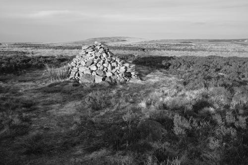
This is the summit cairn of Hurst Hill. A small nook on the right makes a very effective seat where one can sit and admire the excellent view towards Winter Hill, Rivington, with Manchester and, even further afield, Snowdonia on the horizon.
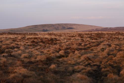
At this point, I was back on the path across Anglezarke Moor that runs from Hurst Hill to Round Loaf. This path is about half a mile long, with its lowest part midway between the two endpoints, right in one of the boggiest parts of the moor (check the Round Loaf video on my Youtube channel which includes a drone flight above this path). Here I'm looking off the path to my left, towards Great Hill as I attempted to reach Round Loaf before sunset, a deadline which was rapidly approaching.
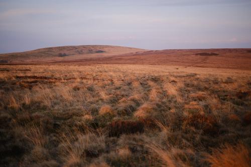
Looking a little more to the right of the previous shot (and with a shorter lens too) to bring Round Loaf into the shot. Here you can see the dip in the moor between where I'm stood and Round Loaf, with the path I'm on reappearing as it rises towards its target.
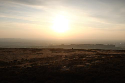
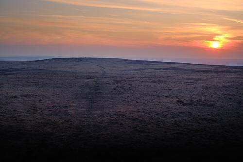
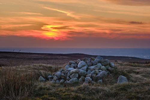
I made it to Round Loaf with a little time to spare. In this image I'm looking back towards Hurst Hill (see the cairn on the top?) as the sun sinks into the Irish Sea Perma-fog™, scuppering the chances of a particularly nice sunset on this evening, by sucking the life out of it.
So this was it, Spring Equinox sunset at Round Loaf, and what a wishy washy affair it turned out to be. This was all the more disappointing as, for the previous three nights, we've had some quite spectacular sunsets, but I hadn't felt sufficiently energised to go out and photograph them, but of course, when I finally do make the effort, this is what I get. Still, theatrical whinging aside, it was satisfying to sit there and watch the sun sink into the fog as I enjoyed the pleasantly scented air of the moors, secure in the knowledge I had the entire place to myself.
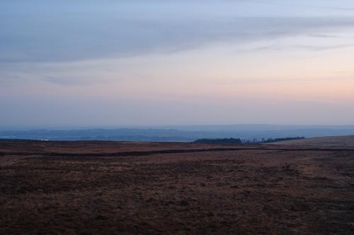
I may have lingered there on Round Loaf a little while too long, because, very quickly, it started to go cold and dark, so I set off back across the moor, hoping to get back before I'd need my head torch. The clump of trees on the horizon is the burnt out plantation from the start of the walk, so I had my work cut out for me to get there before it went completely dark.
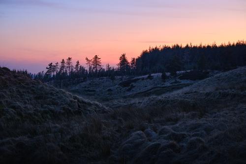
Eventually I reached the little narrow valley containing Limestone Brook, just before it exits the moor to descend into Lead Mines Clough. The view in this picture is a lot brighter than it actually was at the time. In the dark, the valley is a little ominous, with the brook making it notably colder than the surrounding moor and, due to some strange acoustics, switching sharply between being silent and babbling loudly, so I was glad to finally reach the treeline and make my way back around the boundary of the woods. Only another mile to go, with the last third or so past Pikestones in complete darkness.
That last one as the sun is setting is dramatic.
How long was the walk?
Alan
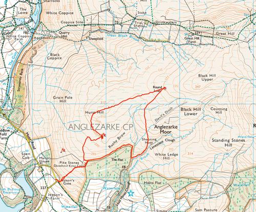
It was about 3.64 miles with 413ft of ascent according to the Garmin.
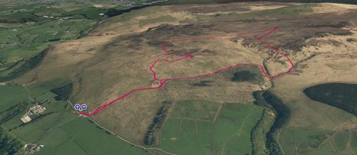
This is the route in case you are interested...
I walked this in a clockwise direction, you can see the diversion I took to reach the small pool on the way up to Hurst Hill, this means leaving the main path and wading through heather, although I did end up following something that looked a bit like a path when heading back to the main route, although it was probably just a sheep trod.
This is a 3D overview, showing the general lay of the land.
Round Loaf itself can be approached from a number of directions. In addition to the two I used, there are tracks from Black Brook, Drinkwater's Farm, Great Hill and Devil's Ditch (a perfectly straight, mile long ditch that's about a foot wide, it's a prehistoric structure of unknown origin, but it's far less impressive than its name would imply). You can approach it from Standing Stones Hill (which is famously devoid of standing stones), but that's an absolute nightmare to get across.

There are some nice soft colours and textures in these. At first I thought the pool shot might be nice as a square crop, then I decided I liked the soft grasses on the left. The sunset cairn has beautiful light, with the stones just kissed by the last rays.

Nice, I like that dramatic clouds draw attention and only after that one finds 2 figures on bottom right. Processing is also spot on, reminding films.
Lovely shots. Rabbit looks as shaggy as trees and bushes after winter.
I like images with paths, it makes you wonder: where does it lead, should I follow it, will I be wiser when reaching end of it? So many questions, so many paths...
I like this, delicate colours all over spectrum in the sky.

Great shot, really like it.
Fab capture (imho).
Fab capture of the sun with great surroundings. What a trip, well done.